New Zealand
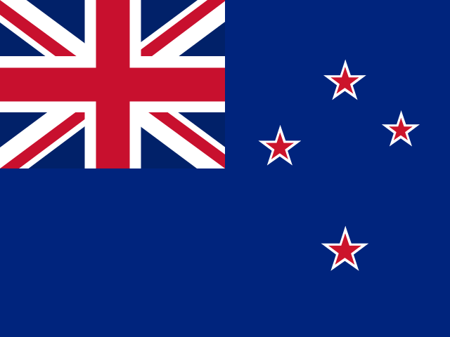
- Region
- Oceania · Australia and New Zealand
- Capital
- Wellington
- Population
- 5,324,700 (2025)
- Government
- parliamentary democracy under a constitutional monarchy; a Commonwealth realm
- Currency
- New Zealand dollar (NZD)
- Official languages
- English, Māori, New Zealand Sign Language
- Spoken languages
- English (de facto official) 95.4%, Maori (de jure official) 4%, Samoan 2.2%, Northern Chinese 2%, Hindi 1.5%, French 1.2%, Yue 1.1%, New Zealand Sign Language (de jure official) 0.5%
- Written scripts
- Latin
- Area
- 270,467 km²
- Coastline
- Coastal
- UN member
- Yes
- Affiliations
- APEC, ASEAN (dialogue partner), IMF, OECD, WCO, WTO
Political stability
86 / 100
Economic stability
82 / 100
Population stability
59 / 100
0–100, higher is more stable. Political: World Bank governance score. Economic: government effectiveness, regulatory quality, and inflation proximity to 2% (World Bank). Population: stability of growth and net migration rates (World Bank).
Trade profile
- Key exports
- milk, wood, beef, butter, sheep and goat meat (2023)
- Key imports
- refined petroleum, cars, gas turbines, broadcasting equipment, trucks (2023)
- Natural resources
- natural gas, iron ore, sand, coal, timber, hydropower, gold, limestone
- Luxury goods
- premium wine, mānuka honey
- Primary route
- Asia services via Southeast Asian hubs
- Secondary route
- Transpacific services to the Americas
The xin.bz view
- New Zealand becomes a west–east water system under El Niño westerlies: hydro catchments in the west stay supplied (storage high for the season) while Canterbury, Marlborough, eastern Otago, Wairarapa, and Hawke’s Bay dry out — after a record ~2.026B kg milk-solids dairy season.
xin.bz coverage
El Niño Is Redrawing the Pacific's Water and Fishery Map — Just as Oceania Becomes More Valuable to Global Food, Energy and Critical-Mineral Supply
Australia's 28M t wheat crop and El Niño fire signature, Pacific islands splitting into dry west and wet center, tuna revenue moving between EEZs, New Zealand's west–east water divide, and Australian LNG and rare earths gaining strategic value.
Trade research
- WTO trade profile — tariffs, trade in goods and services, top partners
- World Bank country data — GDP, trade share of GDP, logistics indicators
- OEC trade profile — export/import composition and partners, visualized
- ITC Trade Map — detailed trade statistics by product (ITC/UN Comtrade)
- CIA World Factbook — geography, economy, transportation infrastructure
xin.bz can watch New Zealand for you — email alerts when new disruptions hit. Start free
Sources: mledoze/countries (ODbL), CIA World Factbook (public domain), World Bank Open Data (CC BY-4.0), flag-icons (MIT). Stability scores are xin.bz composites of the cited World Bank indicators; routes and commodity notes are xin.bz assessments. Informational only — verify with official sources.