Algeria
People's Democratic Republic of Algeria
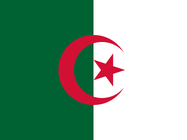
- Region
- Africa · Northern Africa
- Capital
- Algiers
- Population
- 47,435,312 (2025)
- Government
- presidential republic
- Currency
- Algerian dinar (DZD)
- Official languages
- Arabic
- Spoken languages
- Arabic (official), French (lingua franca), Tamazight (official) (dialects include Kabyle (Taqbaylit), Shawiya (Tacawit), Mzab, Tuareg (Tamahaq))
- Written scripts
- Arabic
- Area
- 2,381,741 km²
- Coastline
- Coastal
- UN member
- Yes
- Affiliations
- African Union, IMF, Arab League, OIC, OPEC, WCO, WTO (observer)
- Borders
- Tunisia , Libya , Niger , Western Sahara , Mauritania , Mali , Morocco
Political stability
54 / 100
Economic stability
57 / 100
Population stability
74 / 100
0–100, higher is more stable. Political: World Bank governance score. Economic: government effectiveness, regulatory quality, and inflation proximity to 2% (World Bank). Population: stability of growth and net migration rates (World Bank).
Trade profile
- Key exports
- natural gas, crude petroleum, refined petroleum, fertilizers, iron bars (2023)
- Key imports
- wheat, plastics, cars, milk, corn (2023)
- Natural resources
- petroleum, natural gas, iron ore, phosphates, uranium, lead, zinc
- Primary route
- Mediterranean services to Europe
- Secondary route
- Suez Canal corridor to Asia and the Gulf
The xin.bz view
- Algeria expects ~5M t of cereals — roughly 30% above average and the best harvest in years — but ~8.5M t of wheat and ~5M t of maize demand keep it a major global grain buyer.
xin.bz coverage
El Niño Is Splitting Africa's Water Map — Just as the World Turns to the Continent for Food, Fertilizer, Fuel and Critical Minerals
A wetter Horn and a drier south, Southern Africa's grain and Kariba buffers, cocoa's port squeeze, Moroccan phosphate and Nigerian fuel as global substitutes, and the corridors that turn African resources into accessible supply.
Trade research
- WTO trade profile — tariffs, trade in goods and services, top partners
- World Bank country data — GDP, trade share of GDP, logistics indicators
- OEC trade profile — export/import composition and partners, visualized
- ITC Trade Map — detailed trade statistics by product (ITC/UN Comtrade)
- CIA World Factbook — geography, economy, transportation infrastructure
xin.bz can watch Algeria for you — email alerts when new disruptions hit. Start free
Sources: mledoze/countries (ODbL), CIA World Factbook (public domain), World Bank Open Data (CC BY-4.0), flag-icons (MIT). Stability scores are xin.bz composites of the cited World Bank indicators; routes and commodity notes are xin.bz assessments. Informational only — verify with official sources.